View of Kyo Bogs
Introduction
The photograph on this page of View of Kyo Bogs by Robert Graham as part of the Geograph project.
The Geograph project started in 2005 with the aim of publishing, organising and preserving representative images for every square kilometre of Great Britain, Ireland and the Isle of Man.

There are currently over 7.5m images from over 14,400 individuals and you can help contribute to the project by visiting https://www.geograph.org.uk
View of Kyo Bogs
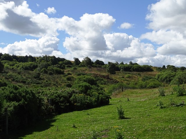
Image: © Robert Graham Taken: 8 Jul 2024
Taken from the public path leading from East Kyo Farm. What is most noticeable here is the amount of scrub which has grown up on the site in recent years. Originally, this was an area of open heathland and marsh.
Images are licensed for reuse under creativecommons.org/licenses/by-sa/2.0
Image Location
Latitude
54.864461
Longitude
-1.72966