Terraced houses on Boundary Road
Introduction
The photograph on this page of Terraced houses on Boundary Road by Alan Murray-Rust as part of the Geograph project.
The Geograph project started in 2005 with the aim of publishing, organising and preserving representative images for every square kilometre of Great Britain, Ireland and the Isle of Man.

There are currently over 7.5m images from over 14,400 individuals and you can help contribute to the project by visiting https://www.geograph.org.uk
Terraced houses on Boundary Road
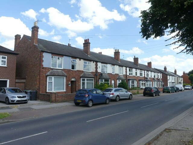
Image: © Alan Murray-Rust Taken: 19 Jul 2024
The style suggests they were built in the early 1900s, although they don't appear on the 1915 revision to the OS 6-inch maps. The name of Boundary Road reflects the fact that until around 1920 it formed the boundary of the town, which was extended around that time to include the new suburb of Hawtonville, developed from 1919 onwards.
Images are licensed for reuse under creativecommons.org/licenses/by-sa/2.0
Image Location
Latitude
53.068464
Longitude
-0.810045