The Ox Inn, Oxhill
Introduction
The photograph on this page of The Ox Inn, Oxhill by Robert Graham as part of the Geograph project.
The Geograph project started in 2005 with the aim of publishing, organising and preserving representative images for every square kilometre of Great Britain, Ireland and the Isle of Man.

There are currently over 7.5m images from over 14,400 individuals and you can help contribute to the project by visiting https://www.geograph.org.uk
The Ox Inn, Oxhill
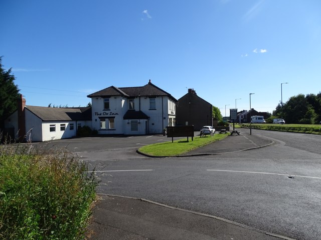
Image: © Robert Graham Taken: 8 Jul 2024
This pub is shown on the 1862 O S map as "The Bull", but had changed to the present name on the 1899 revision. The area in front here was the location of a level crossing where the railway went across Shieldrow Lane.
Images are licensed for reuse under creativecommons.org/licenses/by-sa/2.0
Image Location
Latitude
54.864699
Longitude
-1.715948