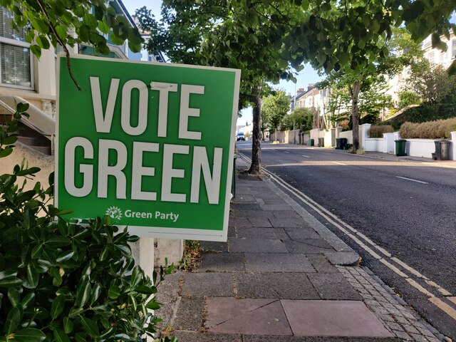
Ditchling Road in Round Hill, Brighton
Introduction
The photograph on this page of Ditchling Road in Round Hill, Brighton by Mat Fascione as part of the Geograph project.
The Geograph project started in 2005 with the aim of publishing, organising and preserving representative images for every square kilometre of Great Britain, Ireland and the Isle of Man.
There are currently over 7.5m images from over 14,400 individuals and you can help contribute to the project by visiting https://www.geograph.org.uk

Image: © Mat Fascione Taken: 27 Jun 2024
This photo was taken one week before the UK 2024 General Election. Siân Berry (Green Party) was elected MP for Brighton Pavilion. Round Hill is an inner city suburban area of Brighton. It was developed mostly in the late 19th century on an area of high land overlooking central Brighton, and contains a mix of privately owned and privately rented terraced housing. Round Hill included a windmill, which stood on the 223-foot (68 m) hilltop until 1913.

