Ramp down to Muirend station
Introduction
The photograph on this page of Ramp down to Muirend station by Richard Sutcliffe as part of the Geograph project.
The Geograph project started in 2005 with the aim of publishing, organising and preserving representative images for every square kilometre of Great Britain, Ireland and the Isle of Man.

There are currently over 7.5m images from over 14,400 individuals and you can help contribute to the project by visiting https://www.geograph.org.uk
Ramp down to Muirend station
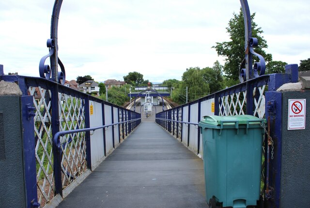
Image: © Richard Sutcliffe Taken: 13 Jul 2024
The ramp leads from Muirend Road to the platform of the Category B listed https://portal.historicenvironment.scot/designation/LB33942 station, built by the Lanarkshire & Ayrshire Railway and dating from about 1903. This view is similar to the first image for this square Image, taken and submitted in 2005.
Images are licensed for reuse under creativecommons.org/licenses/by-sa/2.0
Image Location
Latitude
55.809594
Longitude
-4.274272