View over the fields from east of Groesffordd
Introduction
The photograph on this page of View over the fields from east of Groesffordd by Alan Bowring as part of the Geograph project.
The Geograph project started in 2005 with the aim of publishing, organising and preserving representative images for every square kilometre of Great Britain, Ireland and the Isle of Man.

There are currently over 7.5m images from over 14,400 individuals and you can help contribute to the project by visiting https://www.geograph.org.uk
View over the fields from east of Groesffordd
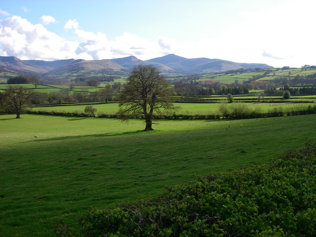
Image: © Alan Bowring Taken: 28 Apr 2008
The distant mountains are of course the central Beacons; Pen y Fan and Corn Du being the two highest peaks, though the latter is hidden behind the former in this view. Rather it is Cribyn which is the prominent peak immediately to the left of Pen y Fan. The dual carriageway A40 runs across this image in the middle distance.
Images are licensed for reuse under creativecommons.org/licenses/by-sa/2.0
Image Location
Latitude
51.939847
Longitude
-3.336525