Egg Lane
Introduction
The photograph on this page of Egg Lane by Mike Dodman as part of the Geograph project.
The Geograph project started in 2005 with the aim of publishing, organising and preserving representative images for every square kilometre of Great Britain, Ireland and the Isle of Man.

There are currently over 7.5m images from over 14,400 individuals and you can help contribute to the project by visiting https://www.geograph.org.uk
Egg Lane
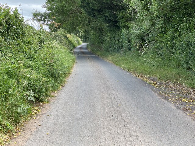
Image: © Mike Dodman Taken: 4 Jul 2024
According to the OS map, this is an old Roman road. It presumably started at Droitwich and headed north west. The OS tracks it to just north east of Halfpenny Green airport, but the present B4176 (nearby) seems straight enough to be "Roman" which would go on to Telford.
Images are licensed for reuse under creativecommons.org/licenses/by-sa/2.0
Image Location
Latitude
52.391374
Longitude
-2.152926