Mancott Presbyterian Church and church hall
Introduction
The photograph on this page of Mancott Presbyterian Church and church hall by John S Turner as part of the Geograph project.
The Geograph project started in 2005 with the aim of publishing, organising and preserving representative images for every square kilometre of Great Britain, Ireland and the Isle of Man.

There are currently over 7.5m images from over 14,400 individuals and you can help contribute to the project by visiting https://www.geograph.org.uk
Mancott Presbyterian Church and church hall
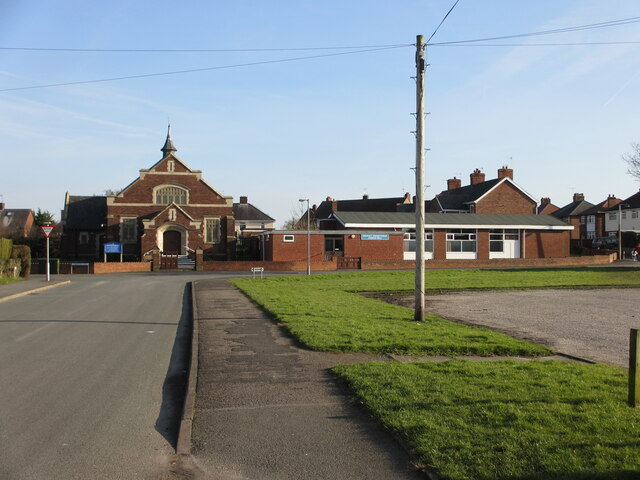
Image: © John S Turner Taken: 17 Feb 2013
Looking along Mancot Lane towards Mancott Presbyterian Church and church hall. For some reason the church and the village names are spelt differently; also since this photo was taken in 2013 houses have been built on the former library car park on the right. There is an Ordnance Survey benchmark on the right hand corner of the church: Image
Images are licensed for reuse under creativecommons.org/licenses/by-sa/2.0
Image Location
Latitude
53.194451
Longitude
-3.019875