Old Boundary Marker near Cross Lanes, Kea parish
Introduction
The photograph on this page of Old Boundary Marker near Cross Lanes, Kea parish by P Barnett as part of the Geograph project.
The Geograph project started in 2005 with the aim of publishing, organising and preserving representative images for every square kilometre of Great Britain, Ireland and the Isle of Man.

There are currently over 7.5m images from over 14,400 individuals and you can help contribute to the project by visiting https://www.geograph.org.uk
Old Boundary Marker near Cross Lanes, Kea parish
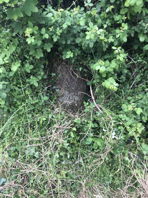
Image: © P Barnett Taken: 7 Jun 2024
Mine Boundary Marker on the northwest side of a minor road northeast of Cross Lanes. Kea parish. An inscription of W M / M was observed, but W WJ / M 1 recorded by Historic England. Historic England have this recorded as a tin boundary stone. Once numerous, these stones originally marked the boundaries between mineral rights claims. Grade II Listed details https://historicengland.org.uk/listing/the-list/list-entry/1311013. Milestone Society National ID: CW_KEA03em
Images are licensed for reuse under creativecommons.org/licenses/by-sa/2.0
Image Location
Latitude
50.242688
Longitude
-5.133984