Wreigh Burn, Thropton
Introduction
The photograph on this page of Wreigh Burn, Thropton by wfmillar as part of the Geograph project.
The Geograph project started in 2005 with the aim of publishing, organising and preserving representative images for every square kilometre of Great Britain, Ireland and the Isle of Man.

There are currently over 7.5m images from over 14,400 individuals and you can help contribute to the project by visiting https://www.geograph.org.uk
Wreigh Burn, Thropton
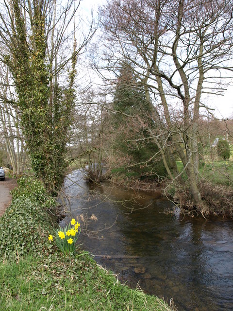
Image: © wfmillar Taken: 21 Apr 2008
This burn runs into the River Coquet at Thropton about 200 Mtrs from here.
Images are licensed for reuse under creativecommons.org/licenses/by-sa/2.0
Image Location


Leaflet Map data © OpenStreetMap
Latitude
55.314143
Longitude
-1.953808