Benchmark on the end of the High Street
Introduction
The photograph on this page of Benchmark on the end of the High Street by Neil Owen as part of the Geograph project.
The Geograph project started in 2005 with the aim of publishing, organising and preserving representative images for every square kilometre of Great Britain, Ireland and the Isle of Man.

There are currently over 7.5m images from over 14,400 individuals and you can help contribute to the project by visiting https://www.geograph.org.uk
Benchmark on the end of the High Street
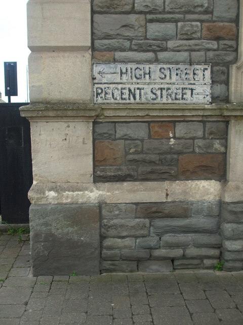
Image: © Neil Owen Taken: 29 May 2024
At the corner of two of Kingswood's principal roads is the social club, which bears a cutmark at the base. See https://www.bench-marks.org.uk/bm84827 for the entry in the Benchmark Database.
Images are licensed for reuse under creativecommons.org/licenses/by-sa/2.0
Image Location
Latitude
51.462351
Longitude
-2.505768