Boundary sign 2008
Introduction
The photograph on this page of Boundary sign 2008 by Alan Murray-Rust as part of the Geograph project.
The Geograph project started in 2005 with the aim of publishing, organising and preserving representative images for every square kilometre of Great Britain, Ireland and the Isle of Man.

There are currently over 7.5m images from over 14,400 individuals and you can help contribute to the project by visiting https://www.geograph.org.uk
Boundary sign 2008
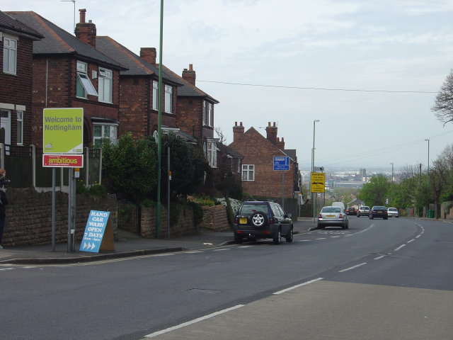
Image: © Alan Murray-Rust Taken: 27 Apr 2008
This will certainly not be here in 111 years' time, unlike Image on the opposite side of the road
Images are licensed for reuse under creativecommons.org/licenses/by-sa/2.0
Image Location
Latitude
52.964869
Longitude
-1.115286