Land Use Change
Introduction
The photograph on this page of Land Use Change by Colin Smith as part of the Geograph project.
The Geograph project started in 2005 with the aim of publishing, organising and preserving representative images for every square kilometre of Great Britain, Ireland and the Isle of Man.

There are currently over 7.5m images from over 14,400 individuals and you can help contribute to the project by visiting https://www.geograph.org.uk
Land Use Change
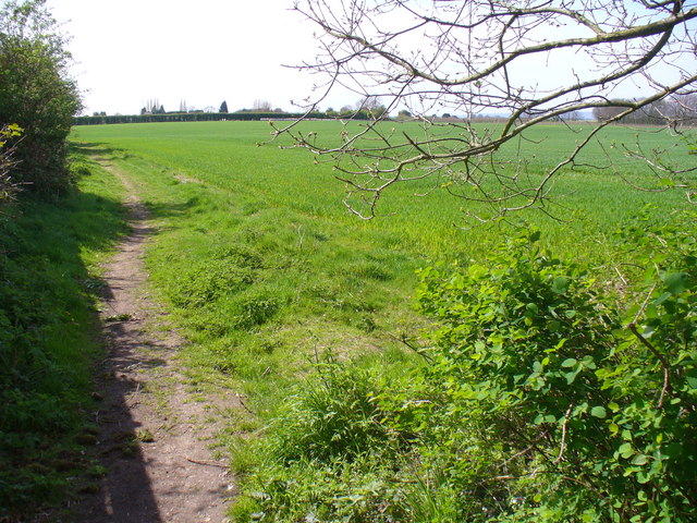
Image: © Colin Smith Taken: 26 Apr 2008
The OS 50K map for this area south-east of Farleigh Green still shows orchards, not the current grasslands. There are many other similar changes in this market gardening area south of maidstone.
Images are licensed for reuse under creativecommons.org/licenses/by-sa/2.0
Image Location
Latitude
51.241648
Longitude
0.473623