Dorrington Street, Holborn
Introduction
The photograph on this page of Dorrington Street, Holborn by Roger D Kidd as part of the Geograph project.
The Geograph project started in 2005 with the aim of publishing, organising and preserving representative images for every square kilometre of Great Britain, Ireland and the Isle of Man.

There are currently over 7.5m images from over 14,400 individuals and you can help contribute to the project by visiting https://www.geograph.org.uk
Dorrington Street, Holborn
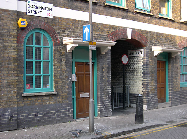
Image: © Roger D Kidd Taken: 23 Mar 2008
Leigh Place is an alley way leading through to the back of the Victorian buildings and Baldwin's Gardens.
Images are licensed for reuse under creativecommons.org/licenses/by-sa/2.0
Image Location
Latitude
51.519336
Longitude
-0.109563