Longfield Drive
Introduction
The photograph on this page of Longfield Drive by Neil Owen as part of the Geograph project.
The Geograph project started in 2005 with the aim of publishing, organising and preserving representative images for every square kilometre of Great Britain, Ireland and the Isle of Man.

There are currently over 7.5m images from over 14,400 individuals and you can help contribute to the project by visiting https://www.geograph.org.uk
Longfield Drive
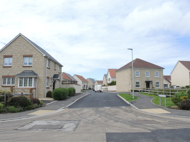
Image: © Neil Owen Taken: 27 May 2024
Wedmore has moved outwards in recent years and this is the latest addition to the housing on the west side, now occupying the former fields beside the school.
Images are licensed for reuse under creativecommons.org/licenses/by-sa/2.0
Image Location
Latitude
51.22409
Longitude
-2.819482