Demolished railway bridge
Introduction
The photograph on this page of Demolished railway bridge by Alan Hughes as part of the Geograph project.
The Geograph project started in 2005 with the aim of publishing, organising and preserving representative images for every square kilometre of Great Britain, Ireland and the Isle of Man.

There are currently over 7.5m images from over 14,400 individuals and you can help contribute to the project by visiting https://www.geograph.org.uk
Demolished railway bridge
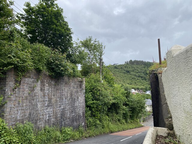
Image: © Alan Hughes Taken: 7 Jun 2024
This bridge used to carry the line which transported coal from above Afon Pelenna across the Pontrhydyfen viaduct and down the Afan valley to Port Talbot.
Images are licensed for reuse under creativecommons.org/licenses/by-sa/2.0
Image Location


Leaflet Map data © OpenStreetMap
Latitude
51.644802
Longitude
-3.755355