Site of Old Pond Copse
Introduction
The photograph on this page of Site of Old Pond Copse by Simon Carey as part of the Geograph project.
The Geograph project started in 2005 with the aim of publishing, organising and preserving representative images for every square kilometre of Great Britain, Ireland and the Isle of Man.

There are currently over 7.5m images from over 14,400 individuals and you can help contribute to the project by visiting https://www.geograph.org.uk
Site of Old Pond Copse
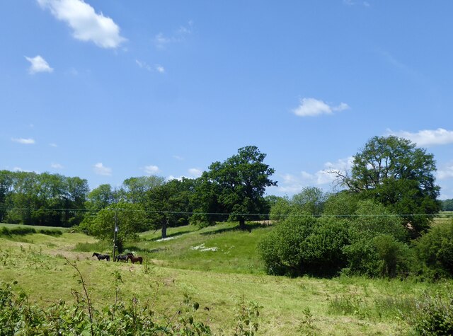
Image: © Simon Carey Taken: 2 Jun 2024
The name of the field according to Northchapel's 1837 tithe map that was originally the site of a pen pond for Image Located on the western side of Image with Image, another former pen pond a little downstream. Pen ponds were extra reservoirs of water used to replenish the main hammer pond when water ran low in it. By the 1830s this was a small copse which had been grubbed when the OS surveyed in the 1870s.
Images are licensed for reuse under creativecommons.org/licenses/by-sa/2.0
Image Location
Latitude
51.059406
Longitude
-0.621394