Limekiln Patch
Introduction
The photograph on this page of Limekiln Patch by Simon Carey as part of the Geograph project.
The Geograph project started in 2005 with the aim of publishing, organising and preserving representative images for every square kilometre of Great Britain, Ireland and the Isle of Man.

There are currently over 7.5m images from over 14,400 individuals and you can help contribute to the project by visiting https://www.geograph.org.uk
Limekiln Patch
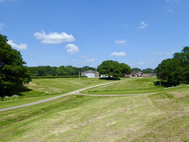
Image: © Simon Carey Taken: 2 Jun 2024
The name of the field according to Northchapel's 1837 tithe map with Mitchell Park Farm to the north. The former limekiln was located on the right between the track and the pond.
Images are licensed for reuse under creativecommons.org/licenses/by-sa/2.0
Image Location
Latitude
51.060094
Longitude
-0.618805