Track from canal to Upper Icknield Way and Lodge Farm
Introduction
The photograph on this page of Track from canal to Upper Icknield Way and Lodge Farm by Robin Webster as part of the Geograph project.
The Geograph project started in 2005 with the aim of publishing, organising and preserving representative images for every square kilometre of Great Britain, Ireland and the Isle of Man.

There are currently over 7.5m images from over 14,400 individuals and you can help contribute to the project by visiting https://www.geograph.org.uk
Track from canal to Upper Icknield Way and Lodge Farm
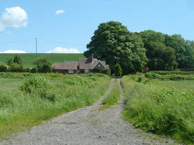
Image: © Robin Webster Taken: 5 Jun 2014
A curious track - was it here before the canal? The Buckland - Aston Clinton parish boundary follows it, and the boundary follows the same straight line on the other side of the canal, evident now as a noticeable property boundary through modern housing. Determining what came first would require study of pre 1799 documents, ideally maps, if they exist.
Images are licensed for reuse under creativecommons.org/licenses/by-sa/2.0
Image Location
Latitude
51.793648
Longitude
-0.703379