Road and bridleway junctions on Low Street
Introduction
The photograph on this page of Road and bridleway junctions on Low Street by Martin Dawes as part of the Geograph project.
The Geograph project started in 2005 with the aim of publishing, organising and preserving representative images for every square kilometre of Great Britain, Ireland and the Isle of Man.

There are currently over 7.5m images from over 14,400 individuals and you can help contribute to the project by visiting https://www.geograph.org.uk
Road and bridleway junctions on Low Street
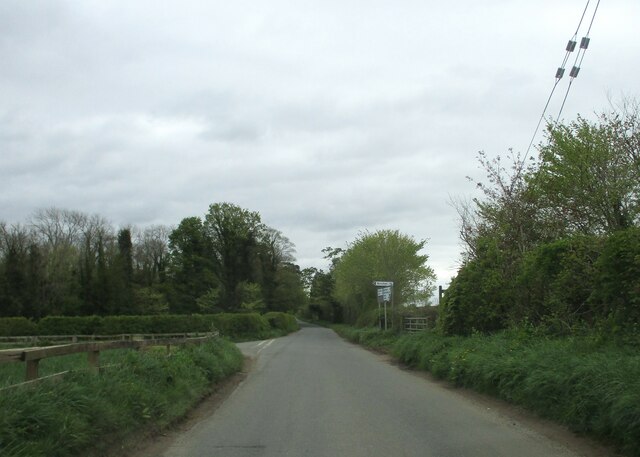
Image: © Martin Dawes Taken: 24 Apr 2024
Fence Dike Lane left to Scruton, right bridleway to the A1, I am assuming it is little used!
Images are licensed for reuse under creativecommons.org/licenses/by-sa/2.0
Image Location
Latitude
54.323695
Longitude
-1.565475