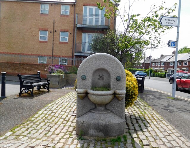
Withington trough
Introduction
The photograph on this page of Withington trough by Gerald England as part of the Geograph project.
The Geograph project started in 2005 with the aim of publishing, organising and preserving representative images for every square kilometre of Great Britain, Ireland and the Isle of Man.
There are currently over 7.5m images from over 14,400 individuals and you can help contribute to the project by visiting https://www.geograph.org.uk

Image: © Gerald England Taken: 2 May 2024
Withington trough is located towards the west end of Copson Street. It started its life outside what is now Withington Public Library in 1876. In 1927 it was moved to the junction of Palatine Road and Wilmslow Road, near the White Lion public house. The Horse Trough was where the horses which drew the milk floats, the bread vans and the coal carts could stop for a refreshing drink. There was also a drinking cup attached by a chain. It disappeared for some years before being found, quite neglected, in a field at Chamber Hall Farm, Heald Green. The farmer asked for a tin bath as replacement and this was provided! The trough was then returned to Withington in 1985, thanks to the efforts of Withington Civic Society. The Society arranged for its removal in sections to the current site, secured planning permission for its installation, and restored the area around the trough. Source of information Withington Civic Society: http://www.withingtoncivicsociety.co.uk/village-walk.html

