Pond Bay, Warren Furnace
Introduction
The photograph on this page of Pond Bay, Warren Furnace by Simon Carey as part of the Geograph project.
The Geograph project started in 2005 with the aim of publishing, organising and preserving representative images for every square kilometre of Great Britain, Ireland and the Isle of Man.

There are currently over 7.5m images from over 14,400 individuals and you can help contribute to the project by visiting https://www.geograph.org.uk
Pond Bay, Warren Furnace
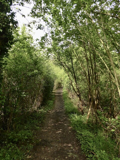
Image: © Simon Carey Taken: 5 May 2024
The bay carries Worth 49 public footpath along the northern side of Image The dam itself is about 5 metres in height with the working area to the north, see Image The current spillway, see Image, was restored in 1919 and is located at the western end. Warren Furnace operated over two periods; from the 1550s to 1627 and then reopened from 1758 to 1774. The site was converted into a corn mill which was in use in the first half of the 19th century.
Images are licensed for reuse under creativecommons.org/licenses/by-sa/2.0
Image Location
Latitude
51.136679
Longitude
-0.075633