The Parkway in Perton, Staffordshire
Introduction
The photograph on this page of The Parkway in Perton, Staffordshire by Roger D Kidd as part of the Geograph project.
The Geograph project started in 2005 with the aim of publishing, organising and preserving representative images for every square kilometre of Great Britain, Ireland and the Isle of Man.

There are currently over 7.5m images from over 14,400 individuals and you can help contribute to the project by visiting https://www.geograph.org.uk
The Parkway in Perton, Staffordshire
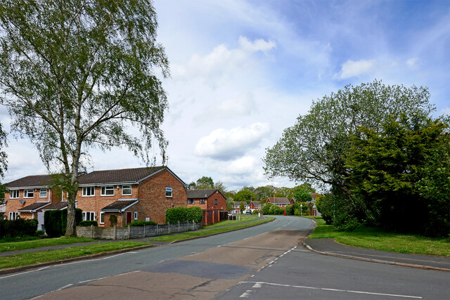
Image: © Roger D Kidd Taken: 30 Apr 2024
Looking north at the southern of two junctions with Gainsborough Drive. The housing on the left is in Lingfield Grove. The Parkway is a two mile long circular main road (with two links westwards to Wrottesley Park Road) in this major housing area to the west of Wolverhampton. Perton is not small, but there are no public road exits east (towards Wolverhampton), north or south from the village except via those two junctions with Wrottesley Park Road, both west of the centre. Buses to Wolverhampton sneak out to the east by Perton Middle School.
Images are licensed for reuse under creativecommons.org/licenses/by-sa/2.0
Image Location
Latitude
52.595743
Longitude
-2.195122