2008 : The turning to Dunkerton
Introduction
The photograph on this page of 2008 : The turning to Dunkerton by Maurice Pullin as part of the Geograph project.
The Geograph project started in 2005 with the aim of publishing, organising and preserving representative images for every square kilometre of Great Britain, Ireland and the Isle of Man.

There are currently over 7.5m images from over 14,400 individuals and you can help contribute to the project by visiting https://www.geograph.org.uk
2008 : The turning to Dunkerton
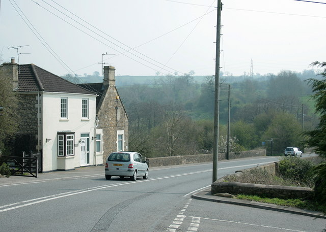
Image: © Maurice Pullin Taken: 22 Apr 2008
In Image] we see the A367 as it approaches the bridge over the Cam Brook. Reversing a hundred yards or so we have this scene with the turning to Dunkerton village in the foreground.
Images are licensed for reuse under creativecommons.org/licenses/by-sa/2.0
Image Location
Latitude
51.333249
Longitude
-2.408892