Road junction with the A4080
Introduction
The photograph on this page of Road junction with the A4080 by Eric Jones as part of the Geograph project.
The Geograph project started in 2005 with the aim of publishing, organising and preserving representative images for every square kilometre of Great Britain, Ireland and the Isle of Man.

There are currently over 7.5m images from over 14,400 individuals and you can help contribute to the project by visiting https://www.geograph.org.uk
Road junction with the A4080
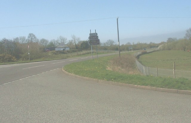
Image: © Eric Jones Taken: 14 Mar 2008
The Tal-poncau public house can be seen on the opposite side of the A4080.
Images are licensed for reuse under creativecommons.org/licenses/by-sa/2.0
Image Location
Latitude
53.164822
Longitude
-4.314347