Path downhill to Fernbrae Meadows
Introduction
The photograph on this page of Path downhill to Fernbrae Meadows by Alec MacKinnon as part of the Geograph project.
The Geograph project started in 2005 with the aim of publishing, organising and preserving representative images for every square kilometre of Great Britain, Ireland and the Isle of Man.

There are currently over 7.5m images from over 14,400 individuals and you can help contribute to the project by visiting https://www.geograph.org.uk
Path downhill to Fernbrae Meadows
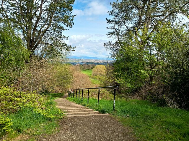
Image: © Alec MacKinnon Taken: 28 Apr 2024
Fernbrae Meadows is a green space redeveloped a few years ago from the former Blairbeth golf course. Steps here are part of a path running between Fernbrae Meadows and the higher Cathkin Braes.
Images are licensed for reuse under creativecommons.org/licenses/by-sa/2.0
Image Location
Latitude
55.802142
Longitude
-4.199799