St Mark's, Clerkenwell
Introduction
The photograph on this page of St Mark's, Clerkenwell by Bikeboy as part of the Geograph project.
The Geograph project started in 2005 with the aim of publishing, organising and preserving representative images for every square kilometre of Great Britain, Ireland and the Isle of Man.

There are currently over 7.5m images from over 14,400 individuals and you can help contribute to the project by visiting https://www.geograph.org.uk
St Mark's, Clerkenwell
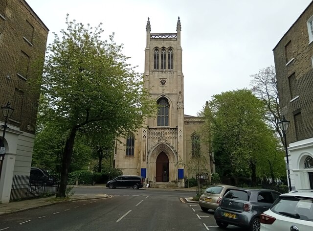
Image: © Bikeboy Taken: 27 Apr 2024
It was built between 1825-7, around the time the houses in the area were built.
Images are licensed for reuse under creativecommons.org/licenses/by-sa/2.0
Image Location
Latitude
51.529941
Longitude
-0.109124