Optimus Way, Optimus Point industrial estate
Introduction
The photograph on this page of Optimus Way, Optimus Point industrial estate by Richard Vince as part of the Geograph project.
The Geograph project started in 2005 with the aim of publishing, organising and preserving representative images for every square kilometre of Great Britain, Ireland and the Isle of Man.

There are currently over 7.5m images from over 14,400 individuals and you can help contribute to the project by visiting https://www.geograph.org.uk
Optimus Way, Optimus Point industrial estate
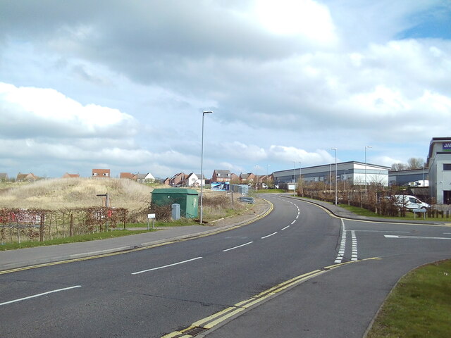
Image: © Richard Vince Taken: 9 Mar 2024
Looking towards the approximately contemporaneous housing development on the western side of Glenfield from close to its junction with Roman Avenue. There is no way through for motor traffic (except buses), however.
Images are licensed for reuse under creativecommons.org/licenses/by-sa/2.0
Image Location
Latitude
52.642664
Longitude
-1.215647