Robertson's House
Introduction
The photograph on this page of Robertson's House by Richard Sutcliffe as part of the Geograph project.
The Geograph project started in 2005 with the aim of publishing, organising and preserving representative images for every square kilometre of Great Britain, Ireland and the Isle of Man.

There are currently over 7.5m images from over 14,400 individuals and you can help contribute to the project by visiting https://www.geograph.org.uk
Robertson's House
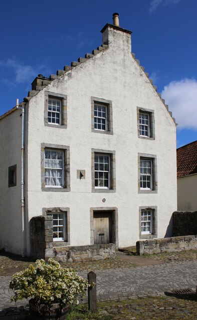
Image: © Richard Sutcliffe Taken: 24 Apr 2024
A Category B listed https://portal.historicenvironment.scot/designation/LB23986 17th century house in Culross. Note the sundial in the wall.
Images are licensed for reuse under creativecommons.org/licenses/by-sa/2.0
Image Location
Latitude
56.055343
Longitude
-3.630585