The Culvert on the Buckholm Burn
Introduction
The photograph on this page of The Culvert on the Buckholm Burn by Iain Lees as part of the Geograph project.
The Geograph project started in 2005 with the aim of publishing, organising and preserving representative images for every square kilometre of Great Britain, Ireland and the Isle of Man.

There are currently over 7.5m images from over 14,400 individuals and you can help contribute to the project by visiting https://www.geograph.org.uk
The Culvert on the Buckholm Burn
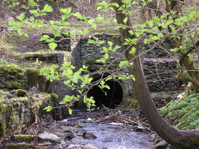
Image: © Iain Lees Taken: 24 Apr 2008
The Burn dives underground here to come out in the Gala Water
Images are licensed for reuse under creativecommons.org/licenses/by-sa/2.0
Image Location


Leaflet Map data © OpenStreetMap
Latitude
55.621835
Longitude
-2.809799