Brunston Castle Golf Course
Introduction
The photograph on this page of Brunston Castle Golf Course by Mary and Angus Hogg as part of the Geograph project.
The Geograph project started in 2005 with the aim of publishing, organising and preserving representative images for every square kilometre of Great Britain, Ireland and the Isle of Man.

There are currently over 7.5m images from over 14,400 individuals and you can help contribute to the project by visiting https://www.geograph.org.uk
Brunston Castle Golf Course
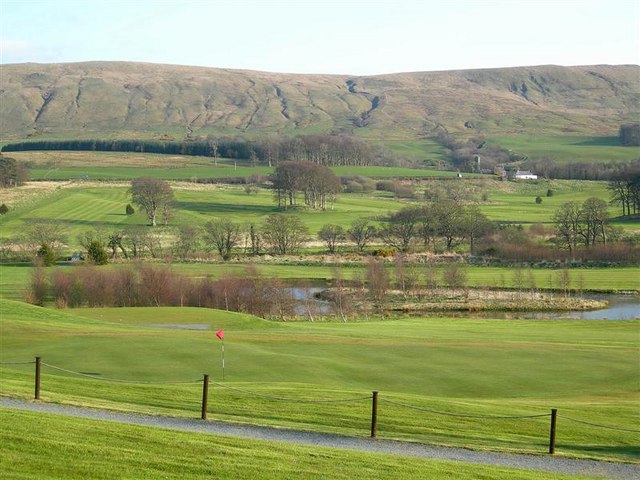
Image: © Mary and Angus Hogg Taken: 23 Apr 2008
Viewed from the club house, looking towards Hadyard and Maxwellston Hills. The Water of Girvan lies behind the water feature on the course.
Images are licensed for reuse under creativecommons.org/licenses/by-sa/2.0
Image Location
Latitude
55.275095
Longitude
-4.737697