Springfield Boarding Kennel
Introduction
The photograph on this page of Springfield Boarding Kennel by Mel Stevens as part of the Geograph project.
The Geograph project started in 2005 with the aim of publishing, organising and preserving representative images for every square kilometre of Great Britain, Ireland and the Isle of Man.

There are currently over 7.5m images from over 14,400 individuals and you can help contribute to the project by visiting https://www.geograph.org.uk
Springfield Boarding Kennel
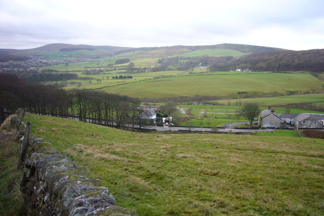
Image: © Mel Stevens Taken: 1 Dec 2007
Looking down hill to: Centre - Springfield Boarding Kennels, Right - Cold Springs Farm, beyond - Burbage Edge, mid left Cavendish Golf course and far left the town of Buxton
Images are licensed for reuse under creativecommons.org/licenses/by-sa/2.0
Image Location
Latitude
53.266126
Longitude
-1.933992