Flats on Old Hexthorpe
Introduction
The photograph on this page of Flats on Old Hexthorpe by Stephen Craven as part of the Geograph project.
The Geograph project started in 2005 with the aim of publishing, organising and preserving representative images for every square kilometre of Great Britain, Ireland and the Isle of Man.

There are currently over 7.5m images from over 14,400 individuals and you can help contribute to the project by visiting https://www.geograph.org.uk
Flats on Old Hexthorpe
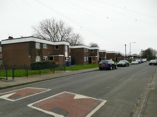
Image: © Stephen Craven Taken: 16 Mar 2024
The 1966 map still shows this area as allotment gardens, so I would put these flat-roofed low-rise buildings as probably early 1970s.
Images are licensed for reuse under creativecommons.org/licenses/by-sa/2.0
Image Location
Latitude
53.516539
Longitude
-1.153758