Watery Lane, Upper Welland
Introduction
The photograph on this page of Watery Lane, Upper Welland by Bob Embleton as part of the Geograph project.
The Geograph project started in 2005 with the aim of publishing, organising and preserving representative images for every square kilometre of Great Britain, Ireland and the Isle of Man.

There are currently over 7.5m images from over 14,400 individuals and you can help contribute to the project by visiting https://www.geograph.org.uk
Watery Lane, Upper Welland
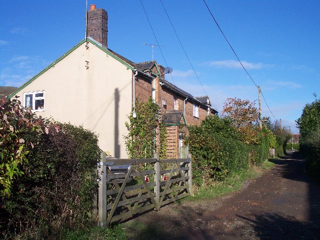
Image: © Bob Embleton Taken: 13 Nov 2005
A 12 ft wide "Private Road or Carriage Way" as defined by the Welland Inclosure Act of 1851. still unmade and lit by gas lamps until a year or two ago.
Images are licensed for reuse under creativecommons.org/licenses/by-sa/2.0
Image Location


Leaflet Map data © OpenStreetMap
Latitude
52.065128
Longitude
-2.323792