Path and road to Plodder Lane
Introduction
The photograph on this page of Path and road to Plodder Lane by Kevin Waterhouse as part of the Geograph project.
The Geograph project started in 2005 with the aim of publishing, organising and preserving representative images for every square kilometre of Great Britain, Ireland and the Isle of Man.

There are currently over 7.5m images from over 14,400 individuals and you can help contribute to the project by visiting https://www.geograph.org.uk
Path and road to Plodder Lane
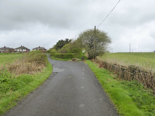
Image: © Kevin Waterhouse Taken: 8 Apr 2024
The road links Moss Hall Farm (behind the camera) and Plodder Lane, with a path to the lane going straight ahead when the road bends to the left in this view.
Images are licensed for reuse under creativecommons.org/licenses/by-sa/2.0
Image Location
Latitude
53.548718
Longitude
-2.446699