Stainton Drive, Nunsthorpe
Introduction
The photograph on this page of Stainton Drive, Nunsthorpe by Richard Vince as part of the Geograph project.
The Geograph project started in 2005 with the aim of publishing, organising and preserving representative images for every square kilometre of Great Britain, Ireland and the Isle of Man.

There are currently over 7.5m images from over 14,400 individuals and you can help contribute to the project by visiting https://www.geograph.org.uk
Stainton Drive, Nunsthorpe
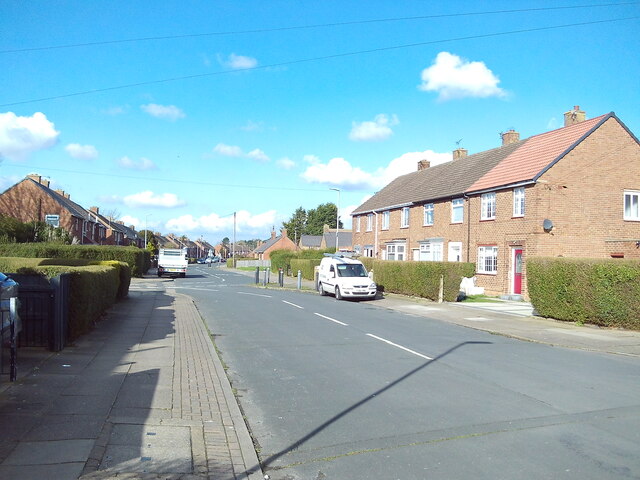
Image: © Richard Vince Taken: 24 Feb 2024
Approaching its junction with Pinewood Crescent, which heads off out of frame to the left into the more recent Bradley Park estate. The road layout has been altered at some point to make the northern part of Stainton Drive into Pinewood Cresent the through route, with this section of Stainton Drive effectively becoming a side road off itself.
Images are licensed for reuse under creativecommons.org/licenses/by-sa/2.0
Image Location
Latitude
53.545555
Longitude
-0.1136