The Cumbria Way, Townhead
Introduction
The photograph on this page of The Cumbria Way, Townhead by Adrian Taylor as part of the Geograph project.
The Geograph project started in 2005 with the aim of publishing, organising and preserving representative images for every square kilometre of Great Britain, Ireland and the Isle of Man.

There are currently over 7.5m images from over 14,400 individuals and you can help contribute to the project by visiting https://www.geograph.org.uk
The Cumbria Way, Townhead
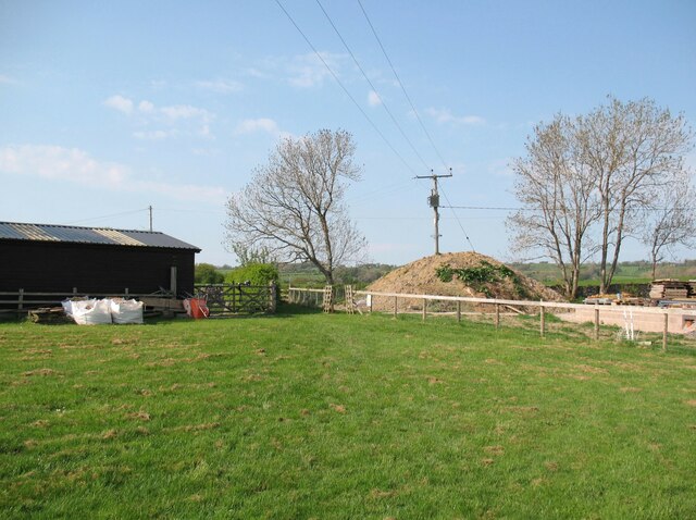
Image: © Adrian Taylor Taken: 12 May 2016
The Cumbria Way follows the public footpath across this paddock, leaving it by a short lane to the right of the hedge (next photograph Image At the end of the lane there is a stile leading onto the access track from Upton to Matthew Rudding.
Images are licensed for reuse under creativecommons.org/licenses/by-sa/2.0
Image Location
Latitude
54.743085
Longitude
-3.054066