Along the Roding Valley Way 6
Introduction
The photograph on this page of Along the Roding Valley Way 6 by Des Blenkinsopp as part of the Geograph project.
The Geograph project started in 2005 with the aim of publishing, organising and preserving representative images for every square kilometre of Great Britain, Ireland and the Isle of Man.

There are currently over 7.5m images from over 14,400 individuals and you can help contribute to the project by visiting https://www.geograph.org.uk
Along the Roding Valley Way 6
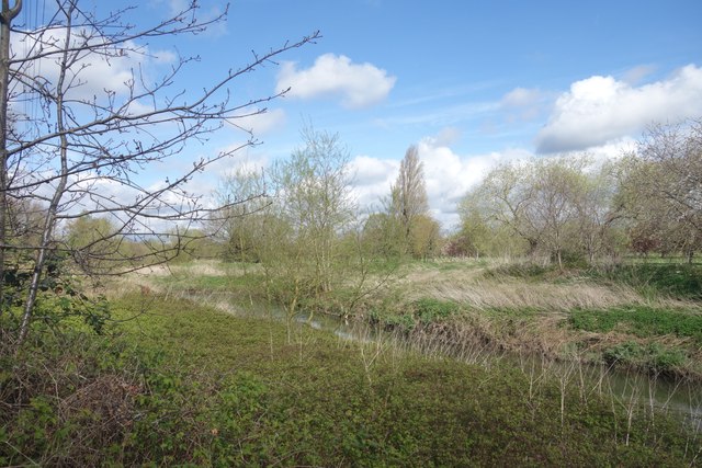
Image: © Des Blenkinsopp Taken: 2 Apr 2024
The Roding Valley Way follows the course of the river to a varying degree for 10 and a bit kilometres between Woodford and Ilford. This is one of the places where the path and the river come close to each other.
Images are licensed for reuse under creativecommons.org/licenses/by-sa/2.0
Image Location


Leaflet Map data © OpenStreetMap
Latitude
51.561281
Longitude
0.053907