Dominion Road, Broadwater, Worthing
Introduction
The photograph on this page of Dominion Road, Broadwater, Worthing by Simon Carey as part of the Geograph project.
The Geograph project started in 2005 with the aim of publishing, organising and preserving representative images for every square kilometre of Great Britain, Ireland and the Isle of Man.

There are currently over 7.5m images from over 14,400 individuals and you can help contribute to the project by visiting https://www.geograph.org.uk
Dominion Road, Broadwater, Worthing
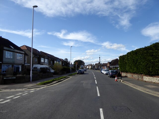
Image: © Simon Carey Taken: 31 Mar 2024
The B2223 heading north to the junction with Sompting Road. Housing was developed from the 1930s onwards as the town of Worthing expanded into neighbouring Broadwater.
Images are licensed for reuse under creativecommons.org/licenses/by-sa/2.0
Image Location
Latitude
50.826965
Longitude
-0.365569