Harrison Road, Worthing
Introduction
The photograph on this page of Harrison Road, Worthing by Simon Carey as part of the Geograph project.
The Geograph project started in 2005 with the aim of publishing, organising and preserving representative images for every square kilometre of Great Britain, Ireland and the Isle of Man.

There are currently over 7.5m images from over 14,400 individuals and you can help contribute to the project by visiting https://www.geograph.org.uk
Harrison Road, Worthing
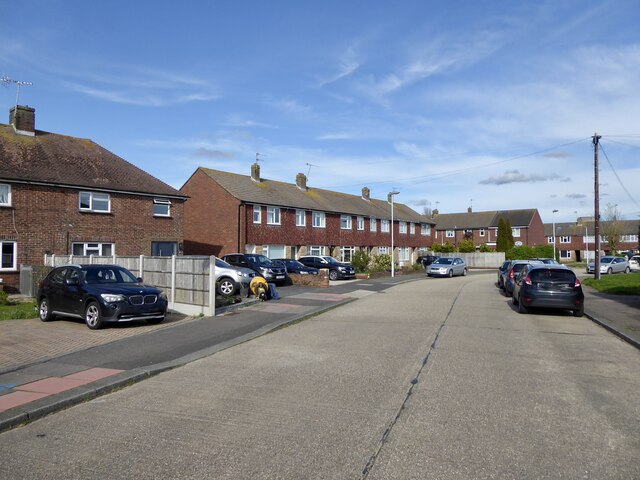
Image: © Simon Carey Taken: 31 Mar 2024
A residential road linking Dominion Road, the B2223, with Southdownview Road. Beyond the latter it continues as a restricted byway to Dominion Way. The road first appears on the 1909 OS map and had acquired its current name by the 1930s, however, it was only developed at the western end adjacent to the junction with the B2223 and mainly provided access to a number of nurseries. Much of the current housing only appeared during the 1960s.
Images are licensed for reuse under creativecommons.org/licenses/by-sa/2.0
Image Location
Latitude
50.826561
Longitude
-0.362459