Waterloo
Introduction
The photograph on this page of Waterloo by Derek Harper as part of the Geograph project.
The Geograph project started in 2005 with the aim of publishing, organising and preserving representative images for every square kilometre of Great Britain, Ireland and the Isle of Man.

There are currently over 7.5m images from over 14,400 individuals and you can help contribute to the project by visiting https://www.geograph.org.uk
Waterloo
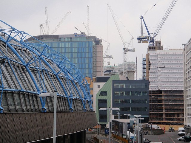
Image: © Derek Harper Taken: 18 Apr 2008
The curving western edge of the roof of Waterloo station, with buildings on Leake Street and Addington Street behind, and a forest of cranes. Seen from the footbridge from the station to the Shell Centre.
Images are licensed for reuse under creativecommons.org/licenses/by-sa/2.0
Image Location
Latitude
51.502885
Longitude
-0.115431