Burial ground, Lydgate Chapel, New Mill (1)
Introduction
The photograph on this page of Burial ground, Lydgate Chapel, New Mill (1) by Humphrey Bolton as part of the Geograph project.
The Geograph project started in 2005 with the aim of publishing, organising and preserving representative images for every square kilometre of Great Britain, Ireland and the Isle of Man.

There are currently over 7.5m images from over 14,400 individuals and you can help contribute to the project by visiting https://www.geograph.org.uk
Burial ground, Lydgate Chapel, New Mill (1)
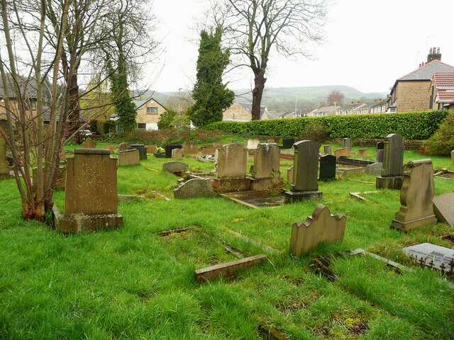
Image: © Humphrey Bolton Taken: 1 Apr 2024
Lydgate Unitarian Chapel was built as a Presbyterian chapel in 1695 and remodelled in 1768, It is listed, Grade II.
Images are licensed for reuse under creativecommons.org/licenses/by-sa/2.0
Image Location
Latitude
53.578437
Longitude
-1.760881