Housing, Eaton
Introduction
The photograph on this page of Housing, Eaton by Katy Walters as part of the Geograph project.
The Geograph project started in 2005 with the aim of publishing, organising and preserving representative images for every square kilometre of Great Britain, Ireland and the Isle of Man.

There are currently over 7.5m images from over 14,400 individuals and you can help contribute to the project by visiting https://www.geograph.org.uk
Housing, Eaton
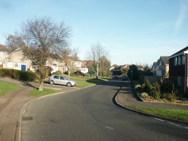
Image: © Katy Walters Taken: 12 Nov 2005
These detached houses on Lindford Drive are a little newer, smaller and less individual than those on Marston Lane.
Images are licensed for reuse under creativecommons.org/licenses/by-sa/2.0
Image Location


Leaflet Map data © OpenStreetMap
Latitude
52.605044
Longitude
1.260836