Chweleiriog Lwyd
Introduction
The photograph on this page of Chweleiriog Lwyd by Eirian Evans as part of the Geograph project.
The Geograph project started in 2005 with the aim of publishing, organising and preserving representative images for every square kilometre of Great Britain, Ireland and the Isle of Man.

There are currently over 7.5m images from over 14,400 individuals and you can help contribute to the project by visiting https://www.geograph.org.uk
Chweleiriog Lwyd
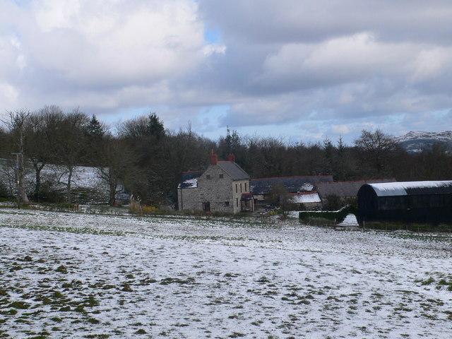
Image: © Eirian Evans Taken: 6 Apr 2008
A farm just off the Offa's Dyke Path, near Llanarmon yn Ial.
Images are licensed for reuse under creativecommons.org/licenses/by-sa/2.0
Image Location
Latitude
53.073267
Longitude
-3.22986