Crossroads
Introduction
The photograph on this page of Crossroads by Richard Sutcliffe as part of the Geograph project.
The Geograph project started in 2005 with the aim of publishing, organising and preserving representative images for every square kilometre of Great Britain, Ireland and the Isle of Man.

There are currently over 7.5m images from over 14,400 individuals and you can help contribute to the project by visiting https://www.geograph.org.uk
Crossroads
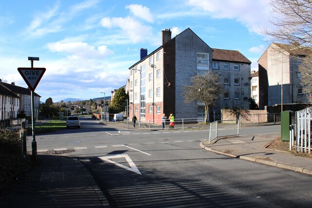
Image: © Richard Sutcliffe Taken: 4 Mar 2024
Old Luss Road runs from left to right. East King Street is straight ahead. The photograph is taken from Redgauntlet Road. On the other side, a lollipop lady is having a conversation while waiting for children from the nearby Colgrain Primary School to arrive.
Images are licensed for reuse under creativecommons.org/licenses/by-sa/2.0
Image Location
Latitude
56.000334
Longitude
-4.712755