Former Chapel
Introduction
The photograph on this page of Former Chapel by Kevin Waterhouse as part of the Geograph project.
The Geograph project started in 2005 with the aim of publishing, organising and preserving representative images for every square kilometre of Great Britain, Ireland and the Isle of Man.

There are currently over 7.5m images from over 14,400 individuals and you can help contribute to the project by visiting https://www.geograph.org.uk
Former Chapel
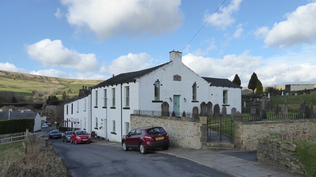
Image: © Kevin Waterhouse Taken: 3 Mar 2024
At Goodshaw Fold the Rehoboth Chapel of 1852 now converted to residential
Images are licensed for reuse under creativecommons.org/licenses/by-sa/2.0
Image Location
Latitude
53.735613
Longitude
-2.291628