Residential Property - Tain
Introduction
The photograph on this page of Residential Property - Tain by Dave Thompson as part of the Geograph project.
The Geograph project started in 2005 with the aim of publishing, organising and preserving representative images for every square kilometre of Great Britain, Ireland and the Isle of Man.

There are currently over 7.5m images from over 14,400 individuals and you can help contribute to the project by visiting https://www.geograph.org.uk
Residential Property - Tain
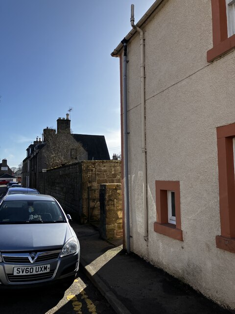
Image: © Dave Thompson Taken: 1 Mar 2024
Gives context for the Ordnance Survey Benchmark which is on the end of the wall and painted a kind of apricot colour
Images are licensed for reuse under creativecommons.org/licenses/by-sa/2.0
Image Location
Latitude
57.813463
Longitude
-4.058308