Path leading to Rush Bed
Introduction
The photograph on this page of Path leading to Rush Bed by Kevin Waterhouse as part of the Geograph project.
The Geograph project started in 2005 with the aim of publishing, organising and preserving representative images for every square kilometre of Great Britain, Ireland and the Isle of Man.

There are currently over 7.5m images from over 14,400 individuals and you can help contribute to the project by visiting https://www.geograph.org.uk
Path leading to Rush Bed
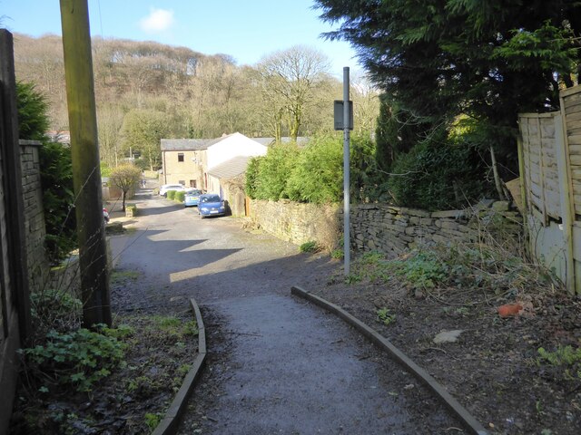
Image: © Kevin Waterhouse Taken: 3 Mar 2024
The path links Stables Close (behind the camera) to the cul-de-sac from Burnley Road
Images are licensed for reuse under creativecommons.org/licenses/by-sa/2.0
Image Location
Latitude
53.719353
Longitude
-2.288333