Droitwich Barge Canal, Valley Way bridge
Introduction
The photograph on this page of Droitwich Barge Canal, Valley Way bridge by Chris Allen as part of the Geograph project.
The Geograph project started in 2005 with the aim of publishing, organising and preserving representative images for every square kilometre of Great Britain, Ireland and the Isle of Man.

There are currently over 7.5m images from over 14,400 individuals and you can help contribute to the project by visiting https://www.geograph.org.uk
Droitwich Barge Canal, Valley Way bridge
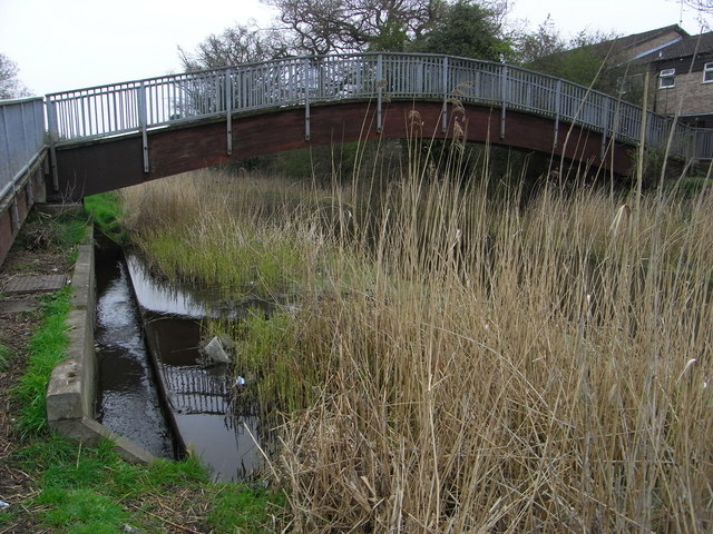
Image: © Chris Allen Taken: 20 Apr 2008
This foot bridge is not seen on the Landranger map. There is an overflow weir to the Salwarpe under the approach ramp.
Images are licensed for reuse under creativecommons.org/licenses/by-sa/2.0
Image Location
Latitude
52.263062
Longitude
-2.169334