Brooklands Towers and Bailey Towers
Introduction
The photograph on this page of Brooklands Towers and Bailey Towers by Stephen Craven as part of the Geograph project.
The Geograph project started in 2005 with the aim of publishing, organising and preserving representative images for every square kilometre of Great Britain, Ireland and the Isle of Man.

There are currently over 7.5m images from over 14,400 individuals and you can help contribute to the project by visiting https://www.geograph.org.uk
Brooklands Towers and Bailey Towers
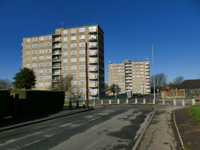
Image: © Stephen Craven Taken: 24 Feb 2024
The tower blocks, along with Ramshead Heights nearby, dominate a large area of 1950s housing. In October 2023 the City Council decided to demolish them and re-home the residents elsewhere, but four months later they still looked occupied.
Images are licensed for reuse under creativecommons.org/licenses/by-sa/2.0
Image Location
Latitude
53.820338
Longitude
-1.464063